Project Owner : Geo-Informatics and Space Technology Development Agency (Public Organization)
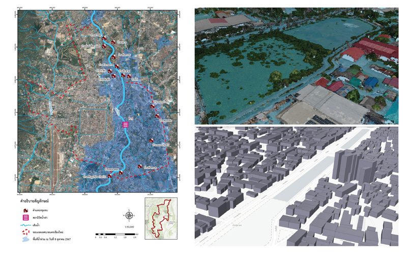
The Development of a Flood Forecasting System in Urban and Key Economic Areas Project. aims to develop a system for generating data on flood risk areas in urban and key economic zones to support decision-making in water management through mathematical models that integrate hydrological factors, satellite data, and geo-informatics. The system will provide data services on flood risk areas in urban and key economic zones in the form of a 3D city model and file-based formats. A total of 100 urban communities will be selected for analysis and implementation in three parts: (1) the development of flow condition analysis models, (2) the preparation of flood forecasting maps under various scenarios, and (3) the development of an application to present community-level flood risk areas. Upon completion, the project will be highly beneficial in reducing risks and damages caused by flooding by enabling advance assessment of risk areas, timely planning and evacuation, as well as enhancing the efficiency of post-flood recovery operations.